Remote Sensing Data Products

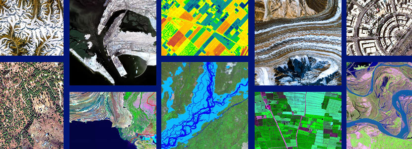
SUPARCO Satellite Ground Station (SGS) at Islamabad is capable of acquiring satellite imagery from a number of satellites offering unsurpassed acquisition, frequent revisit capacity and a very high ground resolution. The spatial resolution of the imagery is as follows;
| REMOTE SENSING DATA PRODUCTS | |||
|---|---|---|---|
| Sr. No. | Spatial Resolution | Type | |
| 1 | 0.98 m | PAN | |
| 2 | 2.89 m | PAN+XS | |
| 3 | 2.4 & 4.8 | PAN+XS | |
| 4 | 0.5 m | PAN | |
| 5 | 0.5 m | PAN+XS | |
| 6 | 2 m | XS | |
| 7 | 1.5 m | PAN | |
| 8 | 1.5 m | PAN+XS | |
| 9 | 6 m | XS | |
| 10 | 1m, 4m, 5m, 8m | Tri-stereo | |
