2025
30 May 2024
Mar 2026
Designing, building, and launching satellites to provide communication, remote sensing, and scientific data for Pakistan and regional applications.
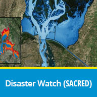
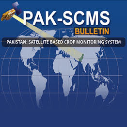
Leveraging space technology to improve agriculture, environment, urban planning, and disaster management through satellite data.
SUPARCO conducts scientific research to support national space initiatives, including satellite development and remote sensing.