Geographic Information System (GIS)

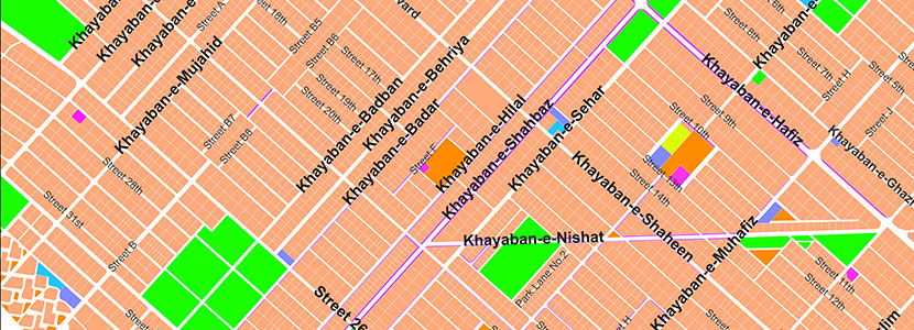
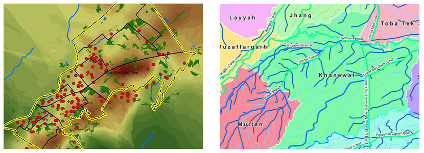
Geographic Information System (GIS) is widely used to monitor and model earth features and processes. GIS enables collecting, processing, analyzing and visualizing spatial data. Geospatial databases provide unique opportunity to create dynamic links between geographical locations and spatially inter-relate information for making pragmatic decisions. Web based GIS technologies have further entrusted dissemination of location based information to reach the user roles. Important areas of application are;
- Information Management Systems for Agriculture, Health, Education, land, Environment, Disaster, Tourism etc
- Spatial Decision Support Systems
- Vehicle tracking and fleet management
- Location based services
- Information system for emergency response
- Surveying and navigation
- Data integration

