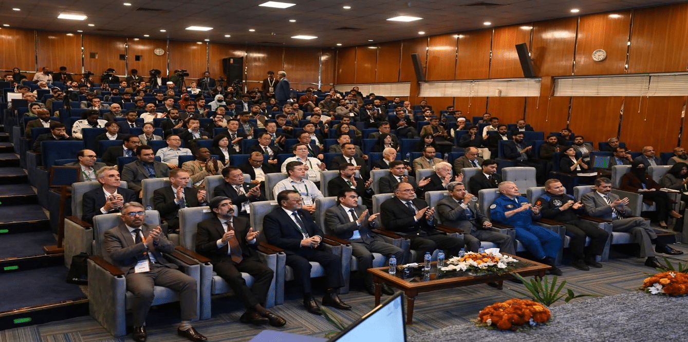
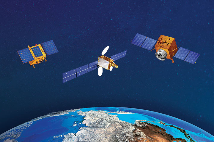
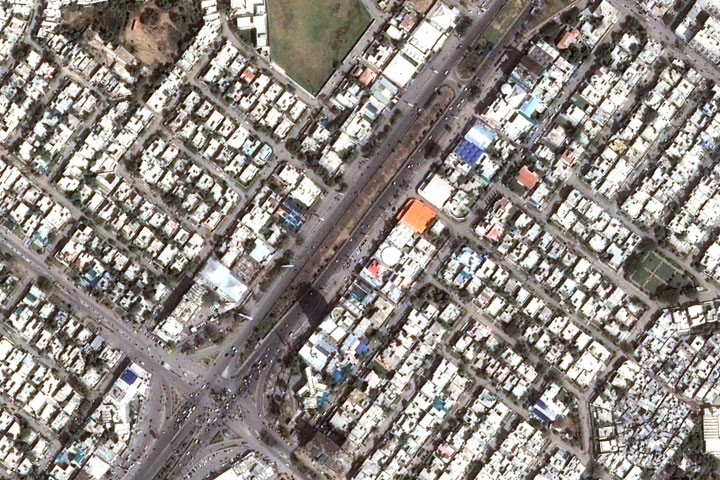
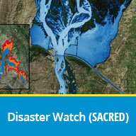
Basic knowledge of Earth sciences and allied fields with some computer knowledge
Objectives
The course aims at providing basic understanding of Regional Climate Model (ReqCM) & Dispersion Modeling such as CHARM software. The course progresses from introducing climate change through numerical modeling, installing and running of model to analyze the results. The course will navigate through remote sensing and GIS software packages for post processing of results obtained.
Contents of Course
Introduction to Climate Change, Numerical Modeling & Dispersion modeling
Compiling and using run of different models
Use of remote sensing and GIS and software packages Visualization and analysis of Results
Course Fee
PKR 25,000 (US $300 for foreign participants)
Venue
NCRG, Karachi
Assessment
Oral or written examination
Application Form
Advanced Applications of Forestry in Remote Sensing & GIS
Institute
National Center for Remote Sensing and Geo-Informatics (NCRG), Karachi,
07th April 2025 for local participants
20th March 2025 for foreign participants
Starting Date
14th April 2025
Course Duration
One Week
Course Level
Advance
Pre-requisites
Advanced knowledge of Remote Sensing & Computer
Objectives
The course aims to provide the advanced understanding of GIS and Remote Sensing and their applications in forestry. The course progresses from digital image processing for mapping forest density using high resolution satellite datasets followed by mapping forest types using hyperspectral datasets. The course will navigate through GIS as well as Remote Sensing software packages to achieve the objectives
Contents of Course
Introduction to RS & GIS
Remote Sensing of Vegetation
Image Classification
Forest area estimations
Forest type mapping
Forest density mapping
Biomass mapping using satellite data
Course Fee
PKR 25,000 (US $ 300 for foreign participants)
Venue
NCRG, Karachi
Assessment
Oral or written examination
Application Form
Advanced Applications of Water Resource Management using Satellite Remote Sensing
Institute
National Center for Remote Sensing and Geo-Informatics (NCRG), Karachi, Pakistan
Advanced knowledge of Earth sciences and allied fields with some computer knowledge
Objectives
The course is aimed at providing advanced concepts and knowledge on the techniques being used in Satellite Remote Sensing. It covers topics relating to operational use of Remote Sensing in different disciplines.
The training course would impart understanding of the principles of Advanced Remote Sensing such as Hyper spectral, Thermal and Microwave Remote Sensing data and applications.
Hands on training will be imparted to develop practical skills in image processing through available off-the-shelf software packages.