Urban Planning and Management
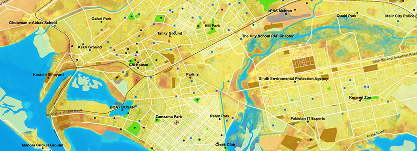
Remote Sensing techniques are helpful in various aspects of urban planning such as land use dymanics, transportation management and infrastructure monitoring etc. Information produced from satellite data provides foundation for effective policymaking and pragmatic decisions. Important areas of application are;
- Landuse and landcover mapping & monitoring
- Urban sprawl modeling
- Cadastral mapping and surveying
- Large scale mapping for urban/ rural planning
- Route planning for roads, railways, pipelines etc
- Urban environment and infrastructure monitoring
