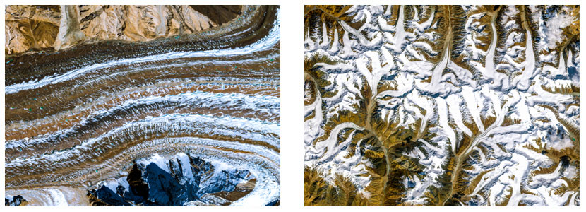
Cryosphere Modeling
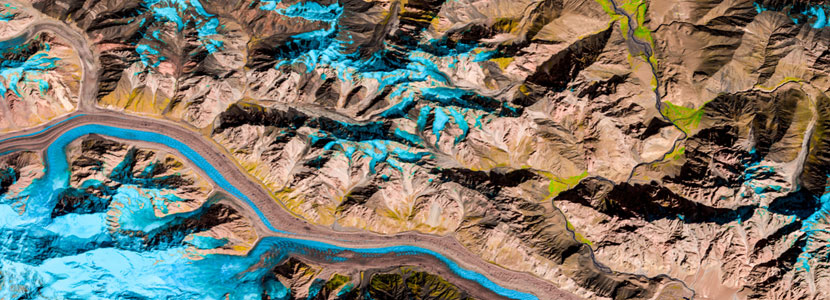
Glacier changes can affect drinking water supplies, agriculture, hydroelectric power, transportation, tourism, coastlines and ecological habitats. Satellite imaging can be effectively employed for monitoring of cryosphere. Multi-temporal data is helpful in estimation of current state and future predictions of the cryosphere. Important areas of application are;
- Development of regional glacier database
- Monitoring of glaciers
- Glacial hazard mapping and modelling
- Glacier depletion monitoring
- Estimation of snow cover
- Snow melt and runoff modelling
- Study atmospheric conditions of the cryosphere