Agriculture
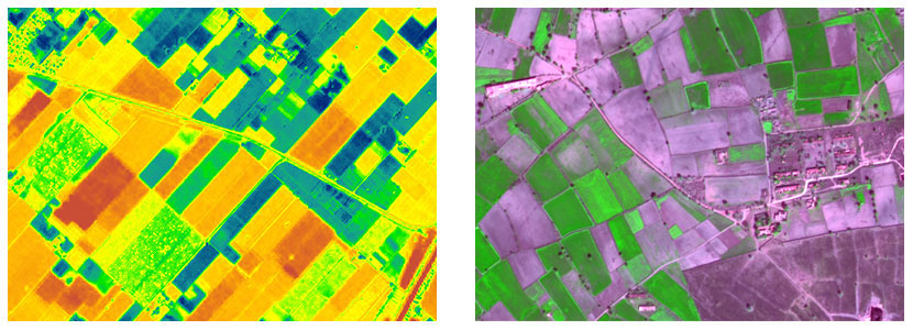
Satellite Remote Sensing plays a vital role in monitoring agriculture resources. Remote sensing with its capability to repetitively acquire synoptic images can be employed to classify various types of crops, provide crop area estimation, monitor crop health, crop growth and assist in crop production and yield estimations. Important areas of application are;
- Crop area estimation
- Crop yield production forecasting and estimation
- Drought monitoring
- Water logging, salinity and land degradation monitoring
- Crop health monitoring
- Precision agriculture
- Crop calendar based yield gap analysis