SUPARCO has been diligently involved in Satellite Navigation that encompasses design and development of Space, Ground and User Segments infrastructure along with related satellitenavigation products, services and its applications for socio-economic uplift of country. SUPARCO is also undertaking advanced research & development, producing satellite navigation equipment and software tools, developing related end-to-end solutions, supporting technology incubation and offering policy & regulatory support to cater for national requirements.
AUGMENTATION SERVICES
SUPARCO has established Ground Based Augmentation System (GBAS) on PoC basis to provide satellite navigation correction signals to authorized users. Further, SUPARCO has also initiated deployment of Space Based Augmentation System (SBAS) to fulfill the integrity based correction signals requirement of aviation, marine and land users.
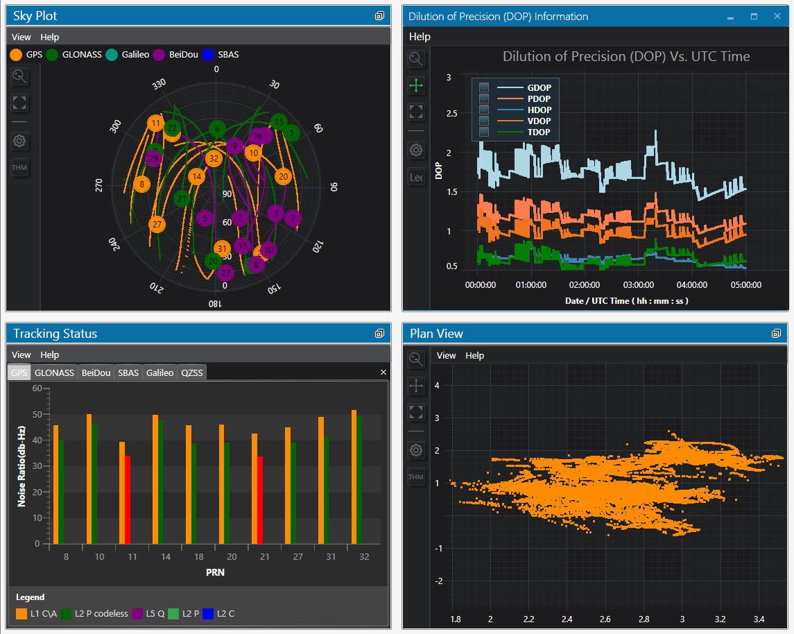
SIGNAL MONITORING AND ANALYSIS
Satellite Navigation Signal Monitoring facility serves the function of monitoring, archiving and analysis of signals from the monitoring stations established across Pakistan.
This center has active cooperation and collaboration program with the national and international bodies working on satellite navigation systems.
This facility also generates following research based products for peaceful utilization:
Integrity Alerts
Quality Check Reports
Ionosphere Delay Monitoring
Archiving of Satellite Navigation Data
Satellite based Monitoring and Modeling Approaches for Climate Induced Disaster
Institute
National Center for Remote Sensing and Geo-Informatics (NCRG), Karachi, Pakistan
Basic knowledge on Disaster Monitoring & Management
Objectives
This course is aimed to provide basic concepts of space based disaster management.
The course progresses from image interpretation techniques, remote Sensing for disaster assessment and monitoring as well as rapid damage assessment. This course will provide hands-on exercises emphasizing on the flood, earthquake, landslide and drought rapid mapping and damage assessment techniques. The course will also provide understanding of flood hazard assessment using flood modeling techniques and hands-on exercise on Flood Hazard Assessment using HEC-RAS 2D Model.
Contents of Course
Introduction to GIS
Introduction to Satellite Remote Sensing
Image Interpretation
Monitoring and Mapping of Disasters
Damage Assessment
Landslide Damage Assessment
Google Earth Engine
Flood hazard assessment
Flood Hazard Mapping
Disaster Watch overview
Course Fee
PKR 25,000 (US $300 for foreign participants)
Venue
SPARC, Islamabad
Assessment
Oral or written examination
Application Form
Earth Observation with Optical and SAR Data
Institute
National Center for Remote Sensing and Geo-Informatics (NCRG), Karachi,
Synthetic Aperture Radar (SAR), owing to its advantage of cloud / haze penetration, day, night and all weather coverage, carries a great potential to be used in a variety of application areas. SAR uses different wavebands within microwave part of the electromagnetic spectrum, to identify and delineate various earth features/objects. Thus, this training course aims to provide understanding in radar remote sensing, impart knowledge and hands-on experience in SAR specific open source software for processing SAR imagery, acquaint participants with techniques of extracting information from SAR imagery products, familiarize participants with techniques of integrating SAR and optical data and share information about various applications of SAR imagery.
Contents of Course
Basic Concepts of SAR Imagery
Past, Present and Future Radar Technologies
Statistical Analysis and Interpretation of SAR Images
Hands-on practice on SAR Data Processing
Land Applications of SAR
Ocean Application of SAR
Principles of Radar Interferometry
Understand/Read Interferograms
Advanced SAR Applications
Course Fee
PKR 25,000 (US $ 300 for foreign participants)
Venue
NCRG, Karachi
Assessment
Oral or written examination
Application Form
From Pixels to Insights: Machine Learning in Remote Sensing
Institute
National Center for Remote Sensing and Geo-Informatics (NCRG), Karachi, Pakistan
The course is aimed at providing advanced concepts and knowledge on the techniques being used in GIS development. It covers topics relating to operational use of GIS in different disciplines. Participants would acquire knowledge on Spatial Analysis as well as on other advanced topics such as GIS modeling, Network analysis, 3D GIS, Customization and Automation in GIS, and Web GIS.
Hands on training will be imparted to develop practical skills in image GIS analysis through available off-the-shelf software packages.