Geology & Mineral Prospection
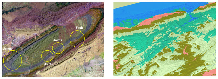
Satellite remote sensing provides information for rock types classification, structural mapping, lineament detection and hydrocarbon prospections. Satellite based geological information is being used to augment the conventional surveying techniques to expedite the minerals prospection process. Important areas of application are:
- Rock types classification
- Geological and mineral prospection
- Hydrocarbon prospection
- Lithological and structural mapping
- Geo hazard monitoring
- Subsurface 3D modeling