SUPARCO has been diligently involved in Satellite Navigation that encompasses design and development of Space, Ground and User Segments infrastructure along with related satellite navigation products, services and its applications for socio-economic uplift of country. SUPARCO is also undertaking advanced research & development, producing satellite navigation equipment and software tools, developing related end-to-end solutions, supporting technology incubation and offering policy & regulatory support to cater for national requirements.
Augmentation Services
SUPARCO has established Ground Based Augmentation System (GBAS) on PoC basis to provide satellite navigation correction signals to authorized users. Further, SUPARCO has also initiated deployment of Space Based Augmentation System (SBAS) to fulfill the integrity based correction signals requirement of aviation, marine and land users.
Signal Monitoring and Analysis
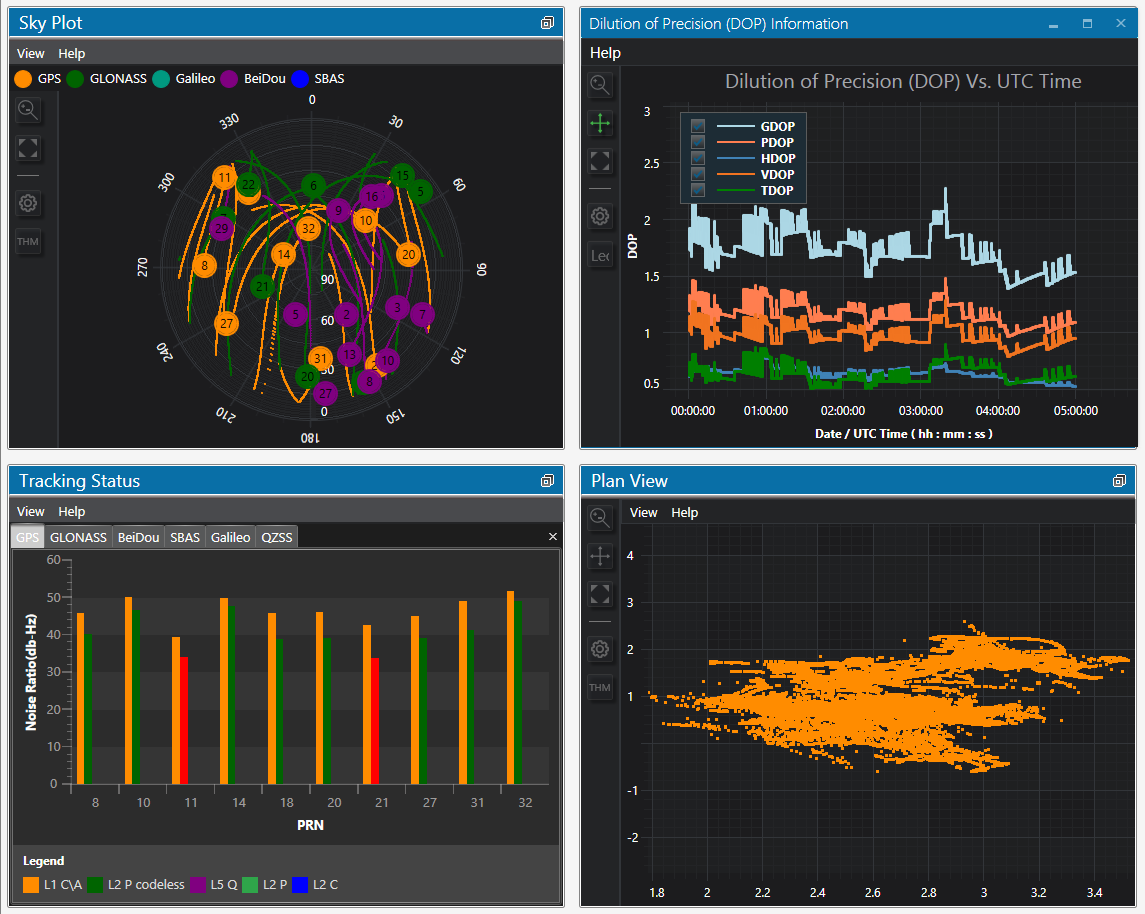
Satellite Navigation Signal Monitoring facility serves the function of monitoring, archiving and analysis of signals from the monitoring stations established across Pakistan. This center has active cooperation and collaboration program with the national and international bodies working on satellite navigation systems.
- Integrity Alerts
- Quality Check Reports
- Ionosphere Delay Monitoring
- Archiving of Satellite Navigation Data

Monitoring and Analysis Center
Facility View